Agronomists and crop advisors
Find the spots worth walking and show growers the pattern across a whole field.
Questions about a project? Our team can help. Contact us →
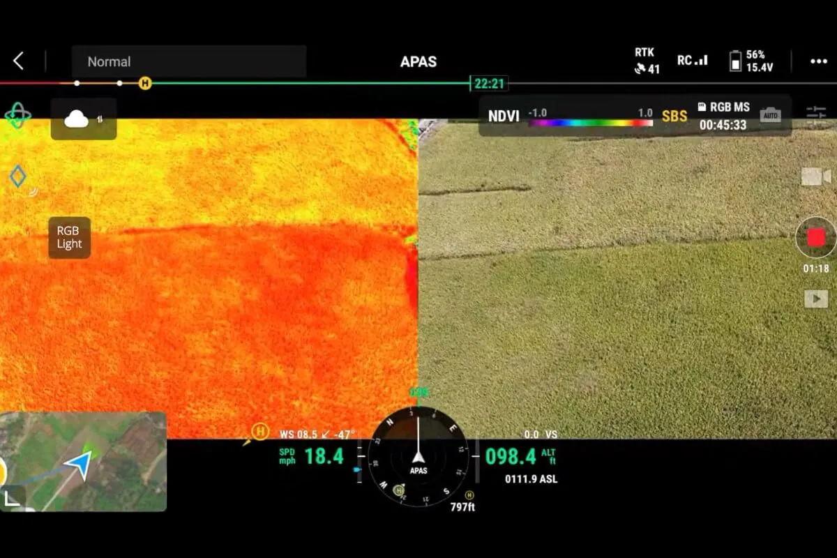
The Mavic 3M is a compact mapping drone with a 20 MP RGB camera, four 5 MP multispectral bands (green, red, red edge and near infrared) and a sunlight sensor for consistent readings. Growers, agronomists and researchers use it for NDVI and NDRE maps, to find problem areas and to build prescription maps for Agras application. It weighs under 1 kg and flies up to 43 minutes.
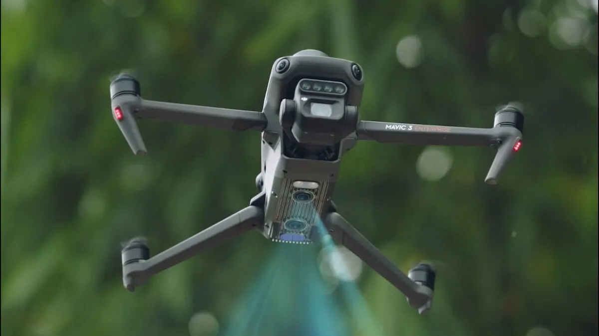
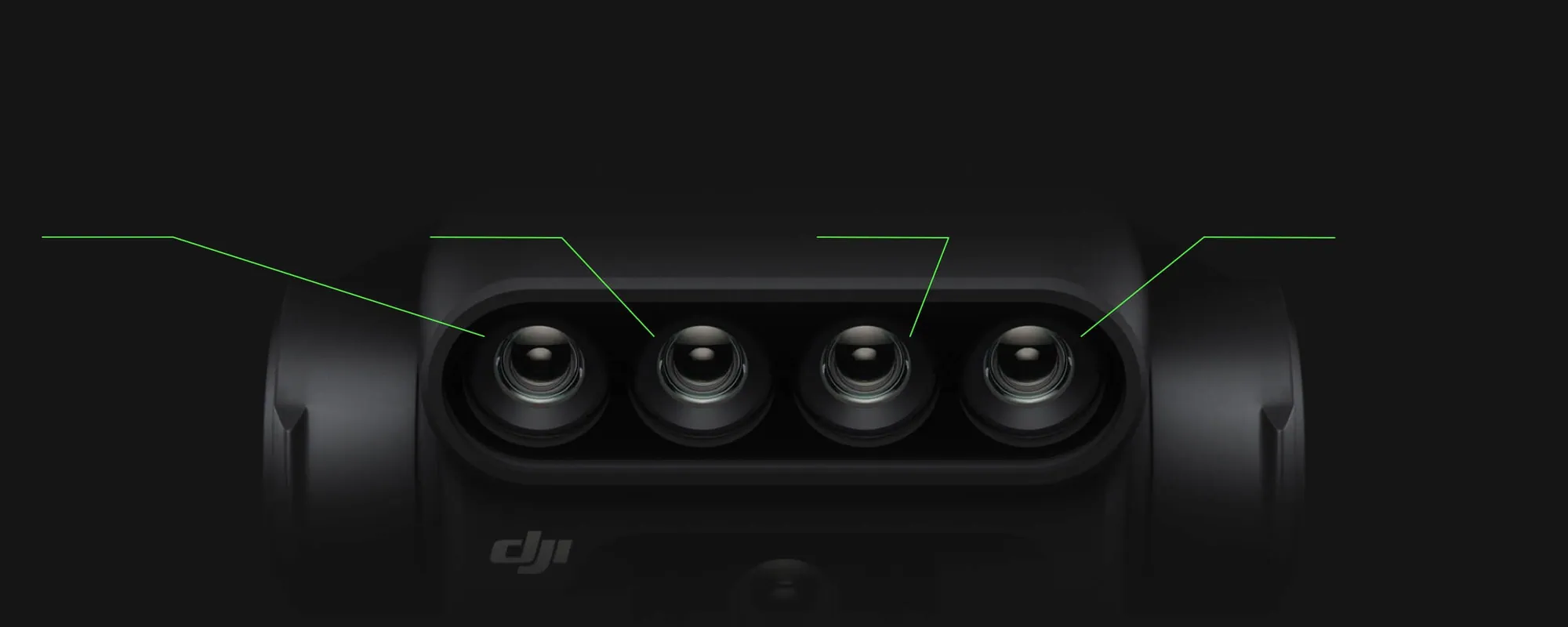
Green 560 nm, red 650 nm, red edge 730 nm and near infrared 860 nm, each on a 5 MP sensor, beside a 20 MP 4/3 CMOS RGB camera with a mechanical shutter for sharp mapping photos.
A built-in sunlight sensor records light at the moment of capture, so flights on different days and under changing cloud can be compared. That matters for research plots and season-long trials.
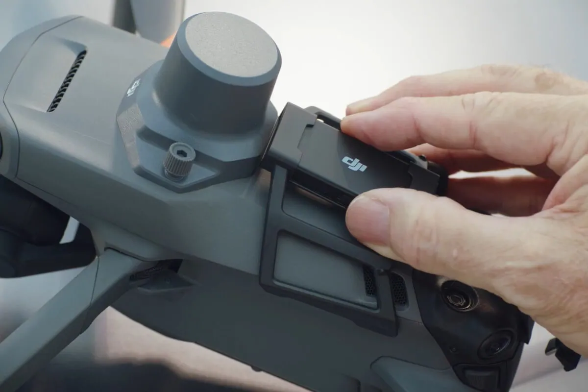
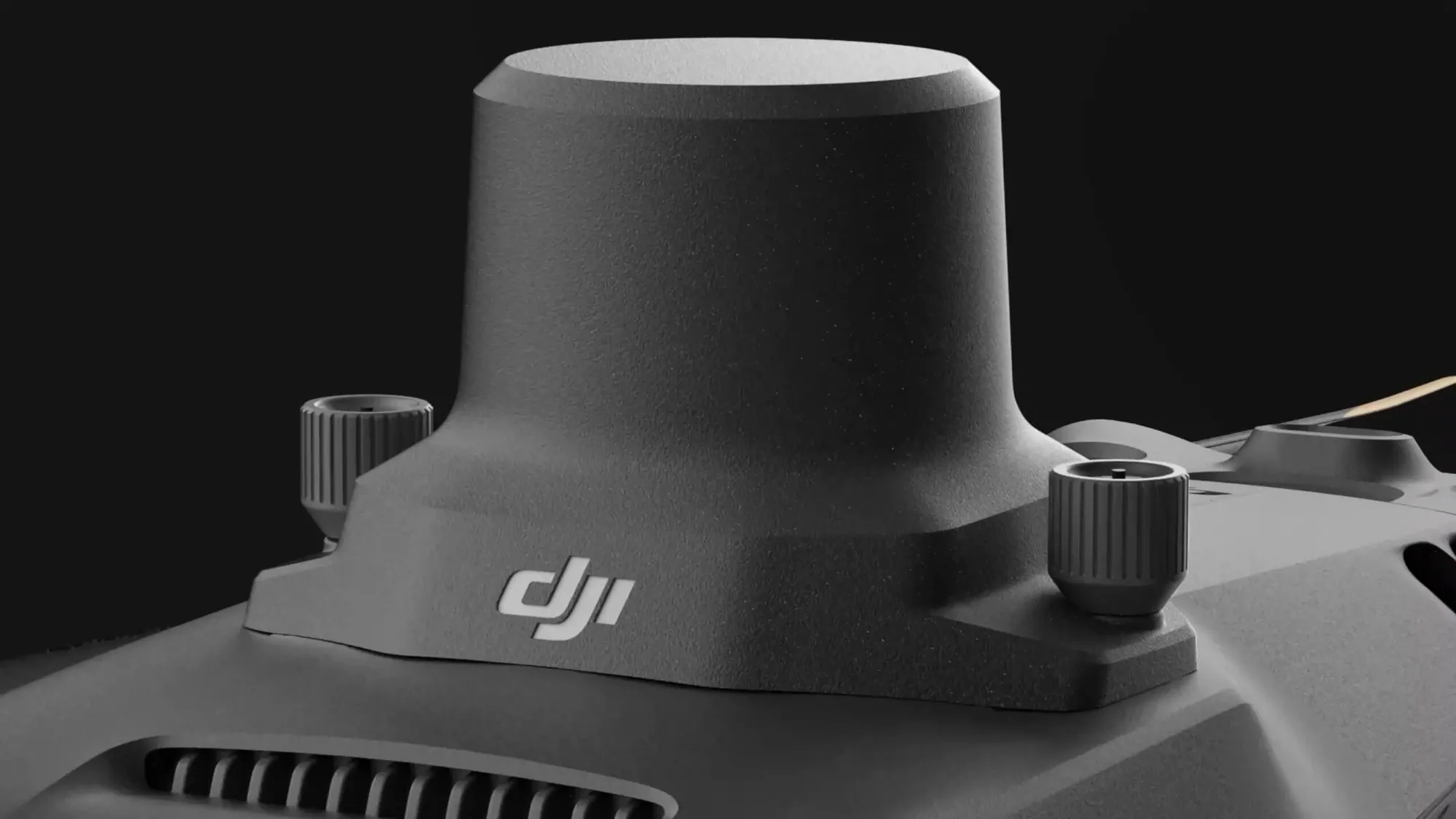
RTK corrects GPS position to centimetres, using a base station at the field or a network RTK service. The RTK module holds position to ±0.1 m so maps line up with field boundaries and plot IDs year after year.
Up to 43 minutes in DJI's windless test and up to 15 km transmission over open farmland, though in Canada you must keep the drone in sight, so missions stay much closer. Plan real missions with a reserve and a realistic turnaround.
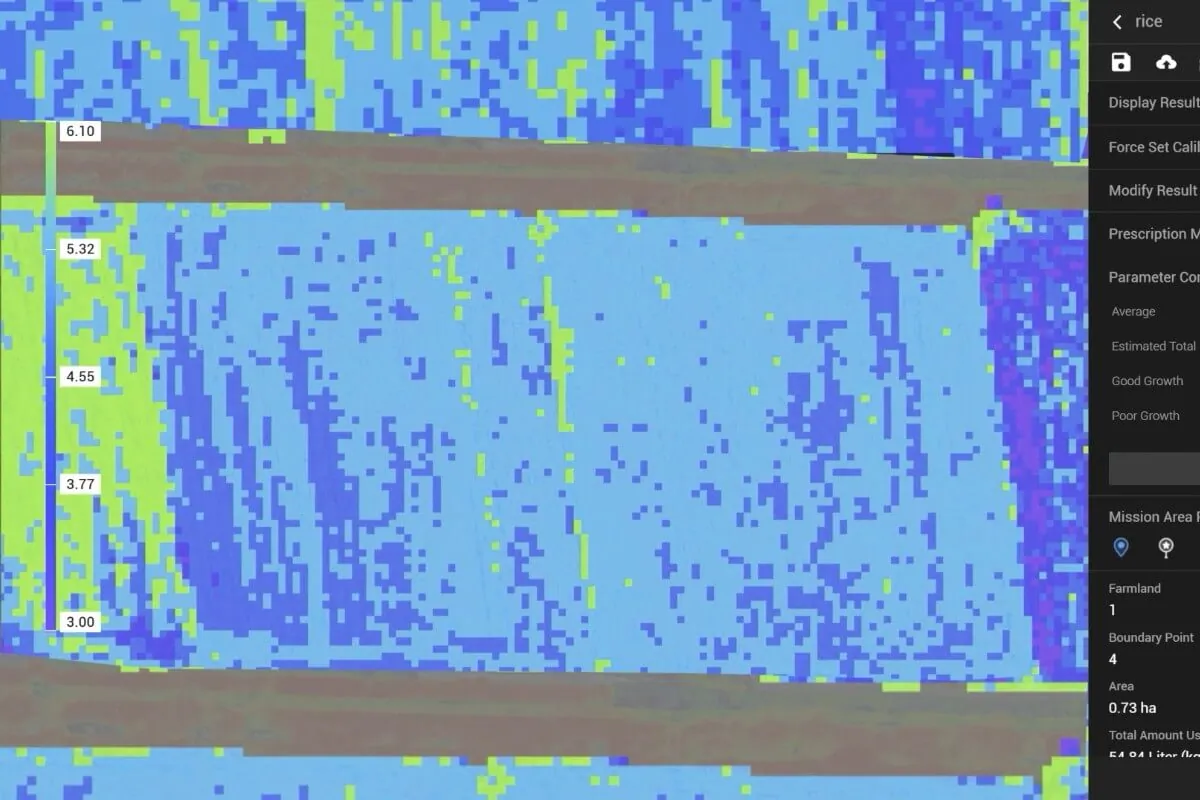
Process imagery in DJI Terra (or SmartFarm, where DJI offers it in Canada) into crop-health maps (NDVI, NDRE) and variable-rate prescription maps, which can be loaded on an Agras T50 or T100 once an agronomist signs off.
951 g with the RTK module. Register it and fly with a Transport Canada Basic or Advanced pilot certificate, depending on airspace and how close you fly to people.
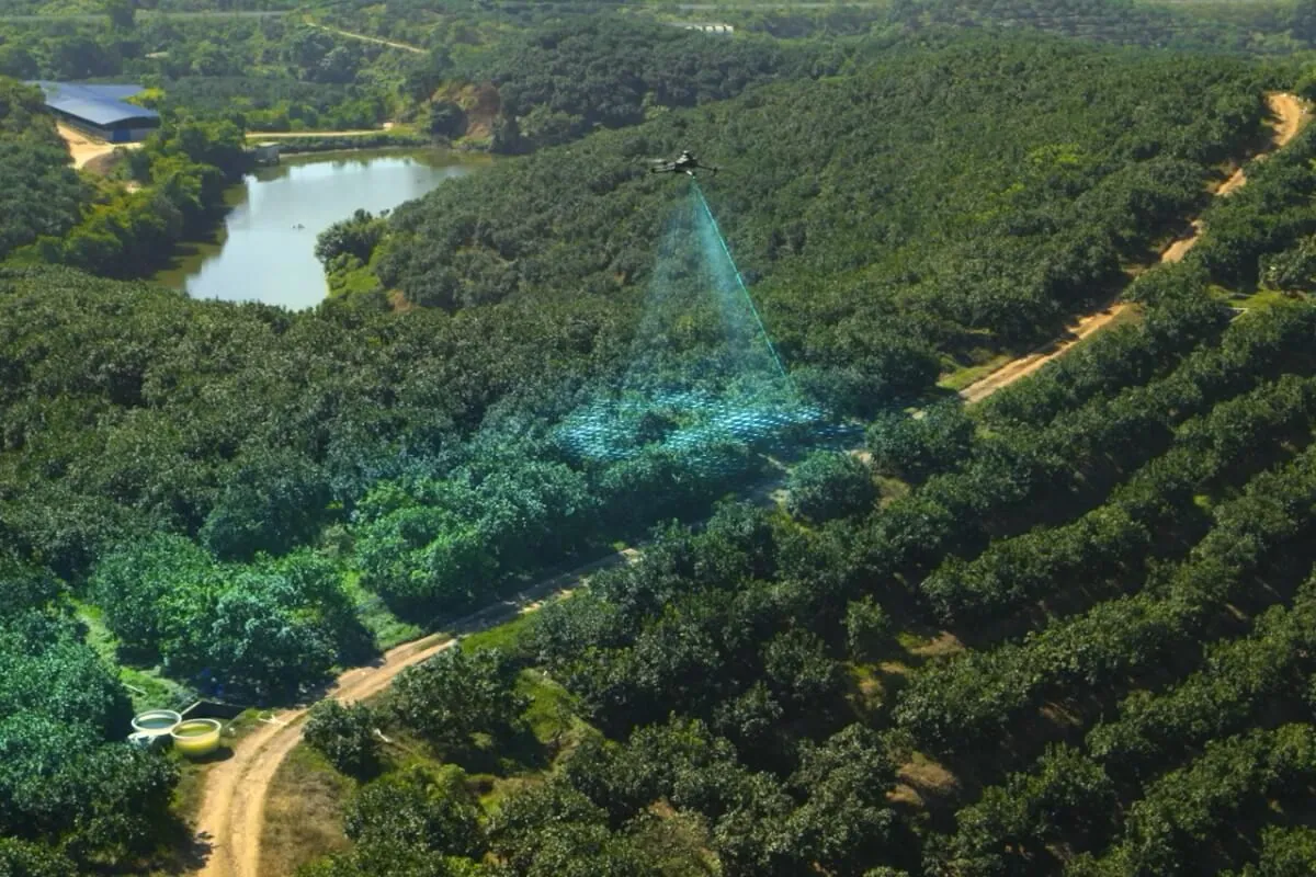
Imagery tells you where a field differs; a ground check tells you why. The Mavic 3M fits buyers who will act on the maps (scouting, zoning, prescriptions or research) and who have a plan to process the data.
Find the spots worth walking and show growers the pattern across a whole field.
Universities, colleges and research stations running plot trials that need repeatable multispectral data.
Zone maps and prescriptions for fertilizer, seeding or application with an Agras drone.
Compare canopy vigour block by block and track replants and missing trees.
A federal research team ordered a Mavic 3 Multispectral late in the fiscal year. Goods had to be received by March 31, but the batteries couldn't arrive in time.
We split the order: the aircraft shipped directly and arrived two days later, and the batteries were cancelled and refunded the same day so the team could reorder them in the new fiscal year.
The drone was received inside the fiscal year, and the budget for it wasn't lost.
2 days, shipped direct
Delivery
Received before March 31
Deadline
Same day
Battery refund
No. The Mavic 3M has a 20 MP RGB camera and four multispectral bands (green, red, red edge, near infrared), but no thermal sensor.
It depends on the kit: batteries, charging hub, RTK base or network service, software licence and any care plan. We send a formal, itemized quote. Universities and government buyers can ask for a PDF quote, tax-exempt pricing and a longer validity period; see institutional purchasing.
DJI Terra (paid licence) builds reflectance and index maps and prescription files; DJI SmartFarm covers simpler scouting where DJI offers it in Canada; ask us. Third-party tools such as Pix4Dfields also read Mavic 3M data. Pick the tool for the output you need before you buy.
No. It shows where a field differs. Compare healthy and affected spots on the ground and check symptoms, crop stage, soil and recent management before you decide anything. The crop scouting guide explains how to use the maps.
Yes. A prescription map built in DJI Terra can be loaded on an Agras controller after an agronomist approves the rates and no-spray areas. Check the file format, units and firmware first, then run a test before the full job.
The sunlight sensor corrects for changing light, which is enough for most scouting. For research that compares values across dates or sites, add a calibration panel and keep the capture settings the same every flight.
At 951 g it must be registered with Transport Canada and flown by a certified pilot: a Basic certificate in uncontrolled airspace away from bystanders, an Advanced certificate in controlled airspace or near people. See drone licence training.
Send the exact item list, your delivery-by date and tax-exemption documents early. We flag any item that may not arrive before your fiscal year-end so you can split or hold the order instead of missing a receipt deadline.
The Agras T50 is DJI's mid-size agricultural drone: one aircraft that sprays from a 40 L tank or broadcasts seed and granules from a 75 L spreader. Canadian growers and custom applicators use it for fungicide passes, cover-crop interseeding and fertilizer top-dress where a ground rig can't get in or would cost an extra pass. We quote it as an itemized package and help you set it up for your fields.
Learn more →High-capacity spray, spread and lift droneThe Agras T100 is DJI's largest agricultural drone, built for operators losing time to refills: a 100 L spray tank, a 150 L spreading system with four auger sizes, and an optional lifting system. In Canada its weight is the first question. Fully loaded it can pass the 150 kg line that requires a Special Flight Operations Certificate, so we size the payload, power and crew with you before quoting.
Learn more →Mapping and prescription softwareDJI Terra is DJI's desktop mapping software. On a farm it turns Mavic 3 Multispectral images into reflectance and vegetation-index maps, builds 2D field and fruit-tree maps for Agras route planning, and makes variable-rate prescription maps for Agras spraying. It runs on a Windows PC with an NVIDIA graphics card. We quote the licence that fits the work: Agriculture for most farms, Standard or Flagship when you also need 3D models or LiDAR.
Learn more →Tell us the fields or plots you want to map and the software you plan to use. We quote the drone, RTK, batteries and licence, and can fly it over your field.